Checking out the Caribou Loop Trail and want to know what to expect?
We’ve listed some of the places below and provided some specific details. Take a minute to read through what one might expect on our Loop trail.
1. What to expect
Tincup Hwy 34 (mile 101.3) to Bridge Creek FR 117 ( 8 miles)
Narrow gravel road with turnouts. There is a lot of beaver activity and stream restoration on Tincup Creek.
Stop and read the kiosk about the work being done.
Continue and turn right at Grays Lake Road.
-Side trip to Grays Lake bird refuge. Turn left and go about 200 yards, then left again.
Grayslake Road to Herman/McCoy Creek (10 miles)
Pavement for about 1 mile and continues to a wide gravel road.
Turn right just past Bonneville County Trail parking area on McCoy Creek Road FR0872
– Alternative route through Willow Creek FR118. Stay left on every junction and continue to Barnes Creek Road FR188 where you rejoin McCoy Creek Road. This is an expert only jeep trail that has ruts and is overgrown in places. There are beautiful views from side trips to Howitzer Basin and the Robison Mine. Forest Service is working on creating a 50 inch Trail from the Robison mine to Caribou City, but this is not currently finished.
McCoy Creek FR 0872 to Wyoming Highway 89. (29 miles)
This is a narrow gravel road with turn outs.
-Caribou City side trip. There is not much left of this old gold mining community but there are some kiosks that explain what was there.
Continue past palisades reservoir, over Salt River to McCoy Creek trail parking area.
McCoy Creek to Alpine (5 miles)
Just off the parking area, parallel to Highway 89 is a two track ATV/SUV trail. Follow it to Alpine. Gas, food and lodging available. Take right on Greys River road to Greys River Trail parking.
Greys River FR10138 to Smiths Fork FR10072 to Highway 89. (80 miles)
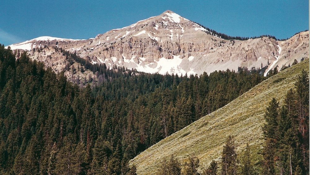
The first 35 miles is a wide gravel road. Popular area with RVs running up and down the road. This is one of the most magnificent sections of the loop.
-Side trip Squaw Creek to Murphy Creek 50 inch wide only.
-Murphy Lake is accessible by vehicle FR10002.
-Box Y Ranch has lodging/food/gas.
-Sheep Creek FR10125 McDougall Gap is about 15 miles to the forest border. You can go to Daniel Junction for gas and food but it is another 35 miles one way.
-Barstow Lake is 5 miles up North Three Forks Road FR10043
Make sure you stay right at the top of Greys River or you will end up in LaBarge. Continue on Smiths Fork Road FR10072 and you will go over Commissary Ridge, which is the highest elevation point on the loop @9300 feet. Stay on main road to Smith’s Fork trail head parking.
Smiths Fork to Crow Creek. (14 miles)
Follow FR10072 to Highway 89. Stay outside of the white fog line on the highway. This is an 8 foot paved section of the highway that you will have to ride for 5 miles until you turn left on Reeves Schwab Rd #149, 1 mile south of Smoot. Go 2 miles and turn left again on Bitter Creek Road. This is a paved road that you will follow for 6 miles until you hit Fairview South Road. Turn left and go about a mile to Crow Creek Rd FR 111.
-Side route. Stay straight at the Bitter Creek Junction and continue north on Road 241 which is the Smoot/Afton Road. In 4 miles, there is a fun local dairy with excellent ice cream just passed Bowles Lane on the left. There is lodging in another mile or so on the right. Fuel is 1 mile farther north on Highway 89 on left.
Crow Creek to Tincup Road (49 miles)
Turn left on road number 141 Crow Creek Road FR111. This is a wide graveled road. Go south 13 miles. Turn right on Wells Canyon Road FR146. This is a narrow gravel/dirt road with ruts and turnouts. You will cross the Simplot Haul road and come to a kiosk that overlooks the active mining area. Go 4 miles total on the Wells Canyon Road and turn right on Diamond Creek Road FR102. This road is a narrow gravel road with turn outs. Follow for 20 miles to Lanes Creek Road FR095, turn right and go 6 1/2 miles to Lanes Creek Cutoff Road FR095. Take a right and follow for 5 miles to Highway 34. Cross Highway 34 to the 66 inch wide Caribou Loop Extension trail and follow it for 1/2 mile, cross bridge, and to your right is the Tincup parking area. If you go left, you start the loop again.
2. General Rules
Please be courteous and drive below posted speed limits.
Slow down for oncoming vehicles, bicycles, pedestrians, or horses.
If your vehicle is legal to take on Forest or county roads in Idaho it is legal for Wyoming and vice versa. The entirety of the main Caribou Loop is on these roads.
If you plan on venturing on 50” Forest trails, you will need off road stickers for each state you ride in.
3. Seasons
Most of the trail is open to wheeled vehicles by the first of June. The Willow/Barns Creek and Commissary Ridge pass usually have snow until the first of July. These two areas are the first to become impassable in the fall because of snow accumulation usually the first of November.
Over snow vehicles can access McCoy Creek/Greys River/Smiths Fork and Crow Creek/Diamond Creek/Lanes Creek, but there is no designated trail that connects the two areas to complete the loop.
4. Signage
There are carsonite or tree hugger signs every 3 miles of the main loop. There is a Caribou Loop Trail insignia sticker on each of these. Each sign is placed on what would be the outside of the road of the loop. In other words if you are traveling the loop clockwise, every sign would be on your left. These signs are fairly inconspicuous, but once you find one, it is easier to see the rest.
5. Emergency Help
For all emergency help please text or call 911 from the trail.

